TO3D Canada · Geospatial solutions
See your world.
Plan with clarity.
Aerial imagery, photogrammetry and 3D GIS turn site data into maps, models and practical information for your next decision.
From capture to insight
Spatial data you can put to work.
Choose the right approach for your site, project objectives and required outputs.
Aerial imagery
Document sites, monitor progress and examine changing conditions with high-resolution aerial imagery.
Explore aerial imagery →Photogrammetry
Turn overlapping images into orthomosaics, point clouds, surface models and 3D reconstructions.
Explore photogrammetry →3D GIS & 3D cities
Bring spatial information together for planning, visualization, asset management and analysis.
Explore 3D GIS →Parcel mapping
Organize parcel and land information for project planning, property visualization and spatial decision support.
Explore parcel mapping →TO3D on film
See the possibilities in motion.
Explore our latest films on smart cities and construction, and meet the aerial imaging approach behind our work.
The natural systems behind a smarter city
Explore how 3D photogrammetry, aerial LiDAR and lakebed mapping can connect urban planning with the natural environment. Using park, canopy and waterway examples, the film explains how spatial information can support accessibility, ecological understanding and climate resilience.
Watch on YouTube ↗From aerial capture to a 3D site model
Follow a short visual journey from terrain imagery and planned aerial capture to a reconstructed surface model. This TO3D film shows how site information can be brought into a three-dimensional view for project planning and communication.
Watch on YouTube ↗Meet TO3D’s aerial imaging approach
Get an introduction to TO3D’s aircraft, imaging systems and approach to planning aerial capture. The film offers a closer look at the equipment and preparation behind the imagery used in our mapping and photogrammetry workflows.
Watch on YouTube ↗Applications
A clearer view of your industry.
Explore how geospatial information supports site documentation, monitoring and planning across different sectors.
Working together
Start with the question.
Build the right deliverable.
01. Define the need
Tell us about the site, intended use, schedule and detail you need.
02. Plan the workflow
Align data capture and processing with your project requirements.
03. Deliver usable information
Review the maps, models and datasets prepared for your next step.
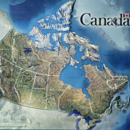
Beyond the screen
Discover 3D wall maps.
Explore our collection of physical 3D maps.
View 3D wall maps →What does your project need to reveal?
Share your project area, objectives, timing and required deliverables. Let’s discuss a geospatial approach that fits.
Start a conversation →