The Achaemenid empire
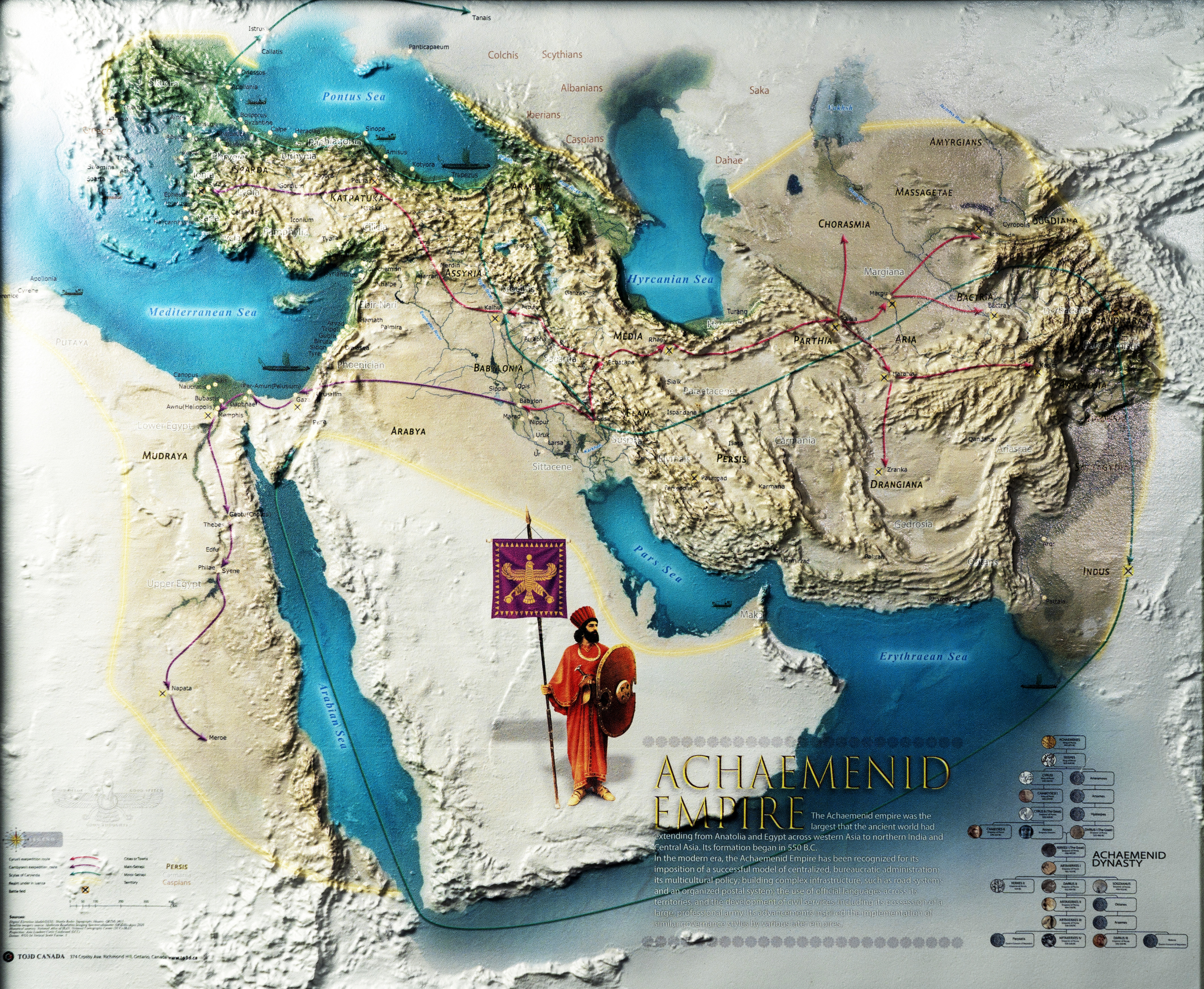
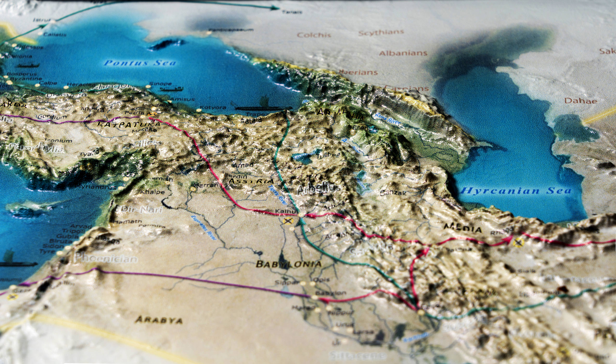
The Achaemenid Persian empire stretched from the Indus to Hellespont and from the steppes of central Asia to the tiny village of Ain Manawir in the western Egyptian desert. For over two centuries (c. 550 BC– c. 325 BC) it was the first and the largest global empire of the Antiquity.
In the modern era, the Achaemenid Empire has been recognized for its imposition of a successful model of centralized, bureaucratic administration; its multicultural policy; building complex infrastructure, such as road systems and an organized postal system; the use of official languages across its territories; and the development of civil services, including its possession of a large, professional army. Its advancements inspired the implementation of similar styles of governance by a variety of later empires.
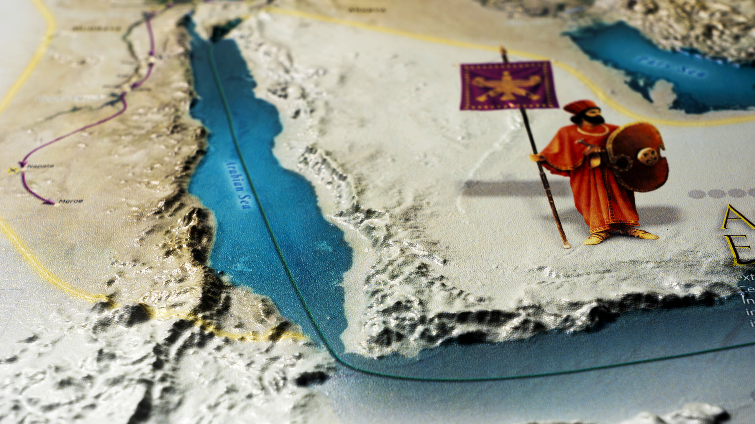
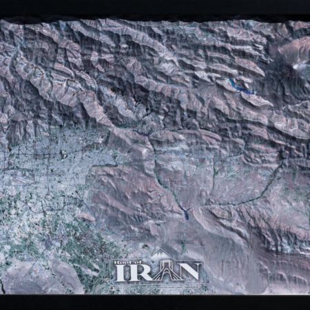
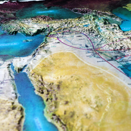
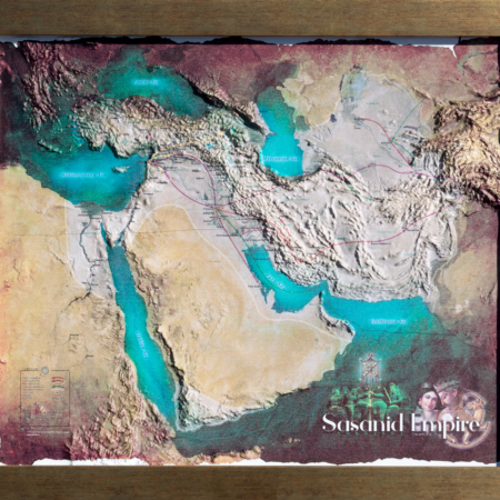
Our expertise in top-of-the-line technologies and professional cartography resources allows us to create stunning raised relief historical maps and models that are unparalleled in quality and detail. You can deem yourself within the empire’s land and, alongside its army, travel across their realm. Our 3D map allows you to explore the natural wonders of ancient empires in stunning detail.

