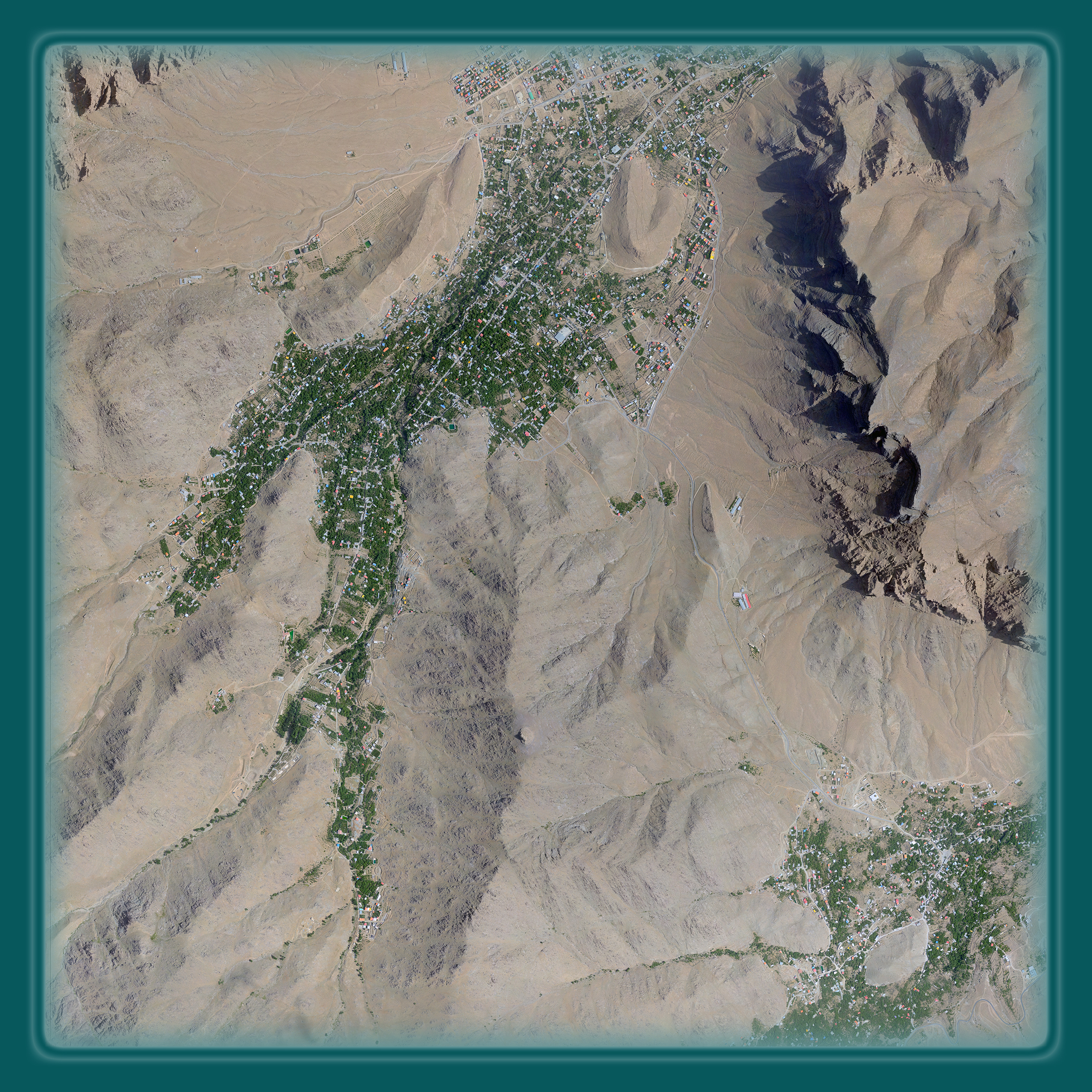
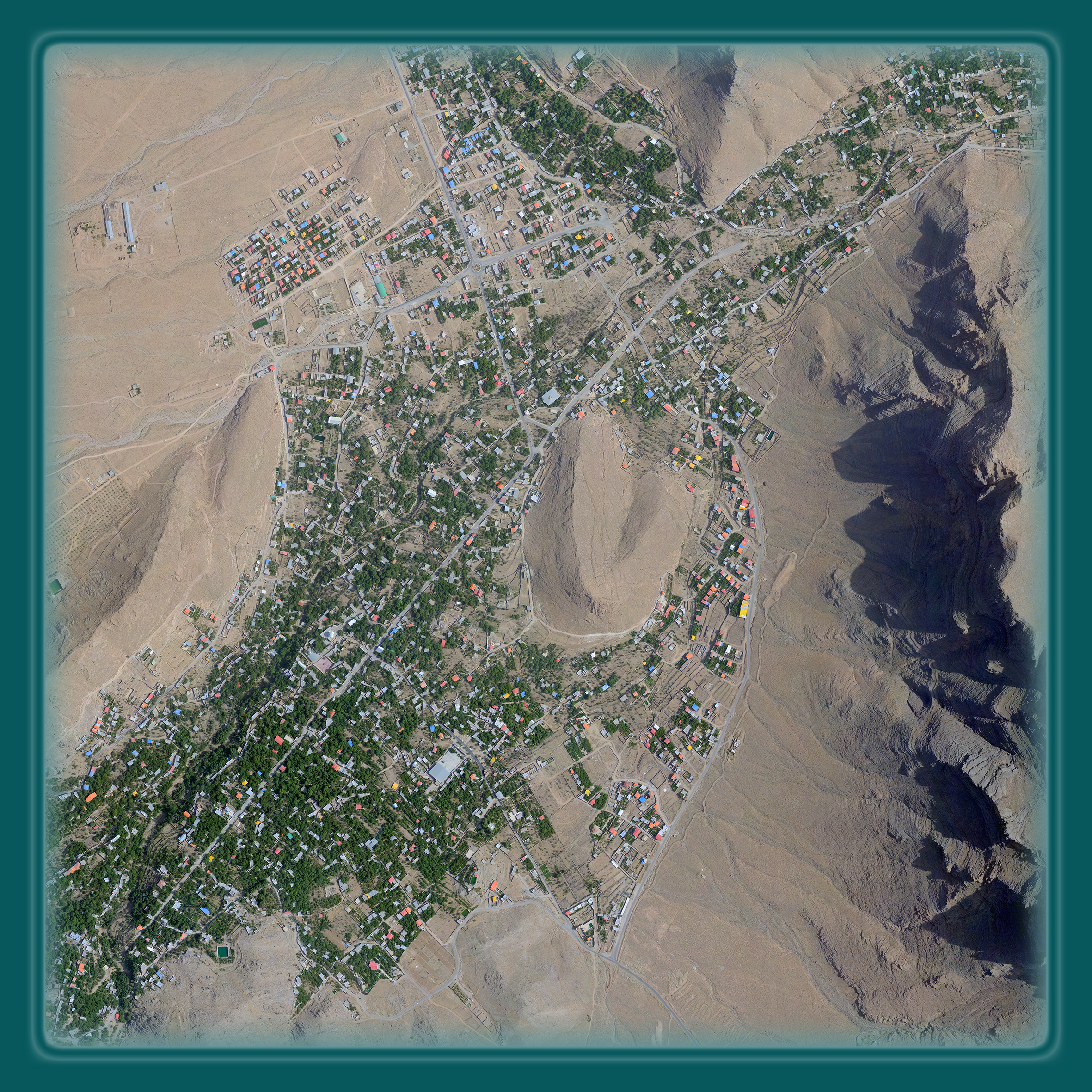
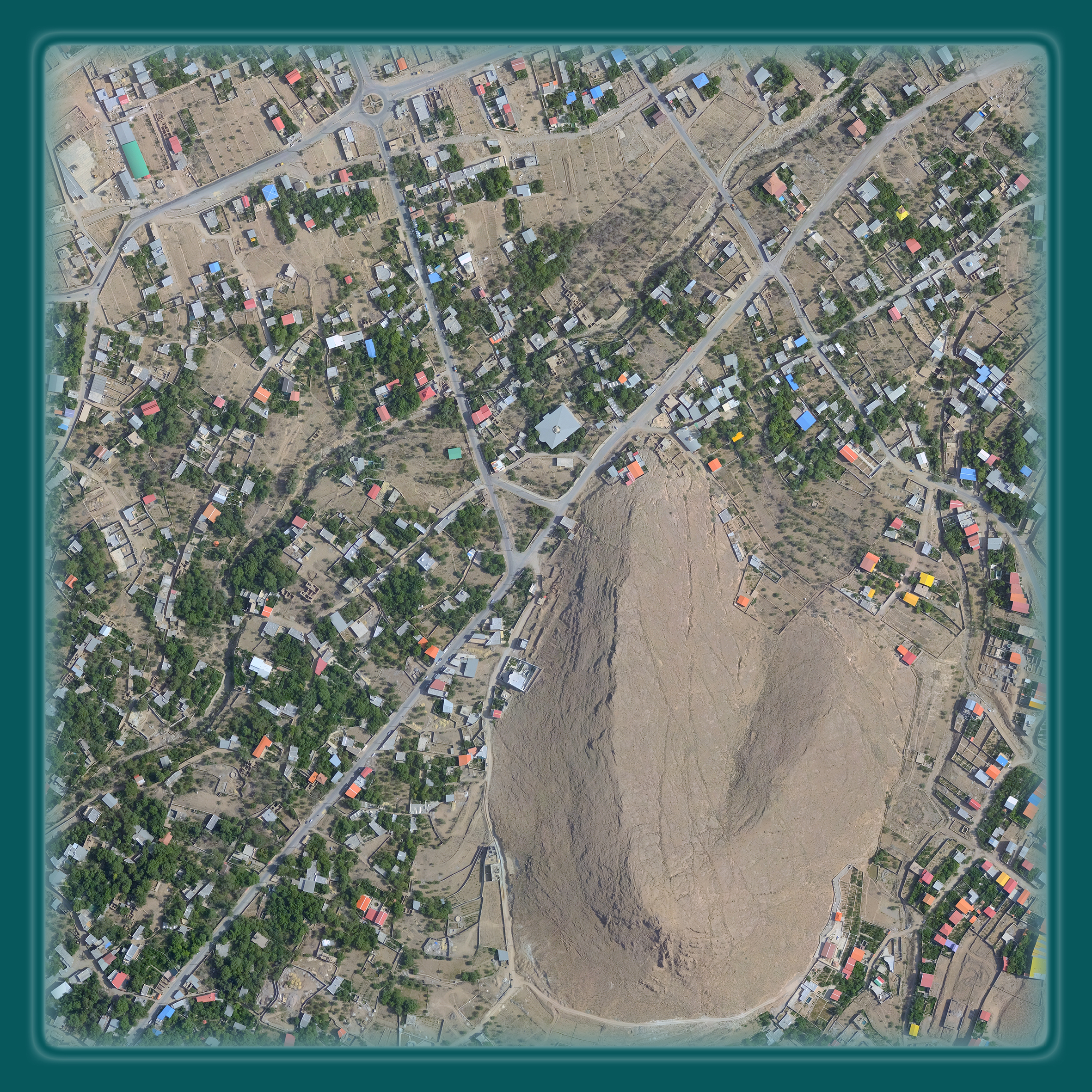
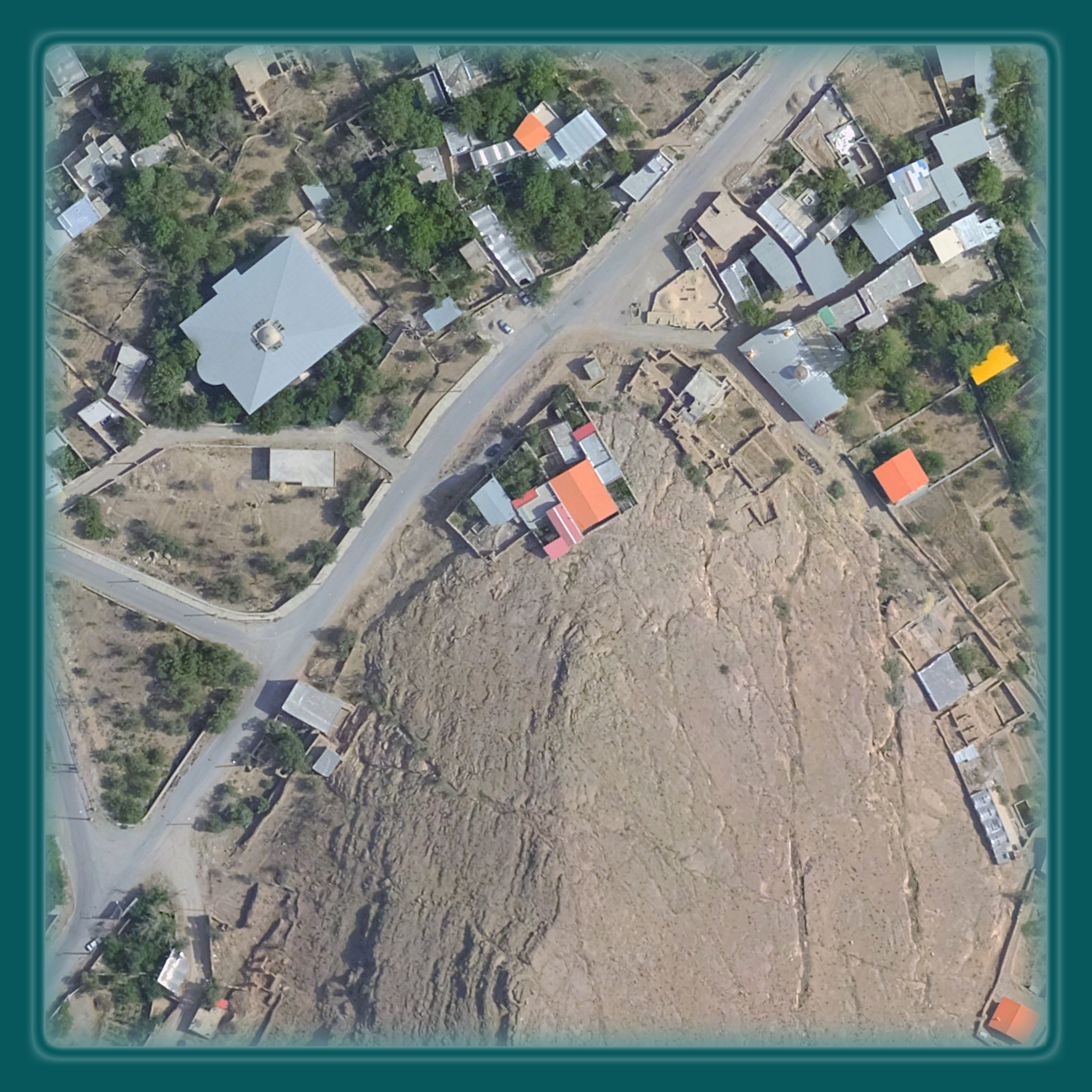
Our Orthos are a suite of ortho imagery products that provide geospatially accurate visual representations of the earth’s surface. Rapidly changing surroundings have stimulated an awareness of the importance of an accurate, up-to-date understanding of the environment, and the resources that occupy it. TO3D creates valuable digital ortho imagery products for the geospatial industry through innovative software techniques, rigorous production processes, and comprehensive quality control measures.
TO3D owns and operates multiple digital acquisition assets customized for the unique collection requirements of cameras and sensors. Offering a variety of systems to collect aerial imagery, TO3D can capture and process data to serve almost any mapping need.
Our Orthos can be used for a vast array of GIS applications. They are produced by collecting aerial imagery and applying a rectification process using the associated area’s digital elevation data. The orthorectification process is a software operation that makes allowances and corrections to the imagery data related to local elevation differences and the curvature of the earth’s surface. TO3D Canada offers two types of orthophotography products —Quick Ortho and Standard Ortho –each available for delivery at various pixel resolutions.
Orthoimagery applications:
- GIS land base / Annual base map update
- Engineering design
- Asset management
- Municipal and government maps
- Right-of-way mapping
- Alignment mapping
- Public and private land development
- Urban planning
- Soils science
- Watershed management
- Geography
- Landscape architecture
tyhtyht
- Pollution prevention
- Agriculture
- Crop Science
- Environmental assessment
- Planimetric feature extraction
- Image analysis
- Post-incident management
Choosing the right resolution
Orthophotography can vary greatly in accuracy and pixel resolution. Pixel (a single point in a graphic image) resolution refers to the actual distance on the ground each pixel represents in the orthophotography. For example, a one-meter pixel resolution means each pixel in the image covers one meter on the ground. Some common resolutions include 20-centieter, 50-centimeter, and 1-meter. The higher the resolution, the greater the visible detail.
